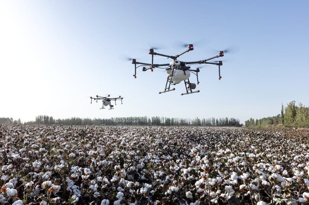
Multispectral Drone
Specifications
Camera Type:
Multispectral sensor with 4–6 bands
(e.g., Red, Green, Blue, Red Edge, Near Infrared)
Resolution:
Multispectral: ~1.2 MP per band (varies by model)
RGB Camera: ~12–20 MP (for visual reference)
Flight Time:
25–40 minutes per battery (depending on payload and wind)
Flight Range:
Typically 5–10 km (line of sight; limited by controller or laws)
GNSS/GPS:
High-precision GPS/GLONASS support
Optional RTK (Real-Time Kinematic) for centimeter-level accuracy
Storage:
Onboard SD card (16–128 GB depending on model)
Weight:
Usually 1.5–3 kg (depends on drone and sensor)
Max Altitude:
~400 ft (legal limit in most countries), but capable of higher
Image Capture Interval:
Can take images every 1–2 seconds during flight
Post-Processing Software:
Compatible with Pix4D, DJI Terra, Agisoft, DroneDeploy
Outputs NDVI, NDRE, GNDVI maps, and more
Wind Resistance:
~10–12 m/s (~22–27 mph)
Sensors Calibration:
Includes a sunlight sensor and reflectance panel for accuracy
Features
Multispectral Imaging
Captures multiple light bands (e.g., Red, Green, Blue, Red Edge, Near-Infrared)
Allows detailed vegetation and land analysis beyond visible light
RGB + Multispectral Dual Cameras
Built-in RGB camera for visual reference
Simultaneous capture of both color and multispectral images
NDVI and Vegetation Index Mapping
Generates NDVI, NDRE, GNDVI and other plant health maps
Useful for monitoring crop health and stress
RTK/PPK Positioning (optional)
Enables centimeter-level accuracy with Real-Time Kinematic (RTK) or Post-Processed Kinematic (PPK) positioning
Automatic Flight Planning
Pre-programmed flight paths using apps like DJI GS Pro, Pix4Dcapture, or DroneDeploy
Fully autonomous data collection
Live Image Preview & Data Sync
Real-time camera feed and image review during flight
Instant sync with ground control systems
Sunlight Sensor Integration
Compensates for changing light conditions
Ensures consistent reflectance data for accurate analysis
Reflectance Calibration Panel
Standardizes image data for repeatable and accurate results
Multi-Mission Capable
Can be used for agriculture, forestry, environmental monitoring, mining, etc.
Quick Data Export
Captured data easily exported for analysis in platforms like Pix4D, Agisoft Metashape, QGIS
Lightweight & Portable
Designed for field use; many are foldable and easy to transport
Weather & Wind Resistance
Can fly in light to moderate wind
Some models are IP-rated (e.g., dust and water resistant)